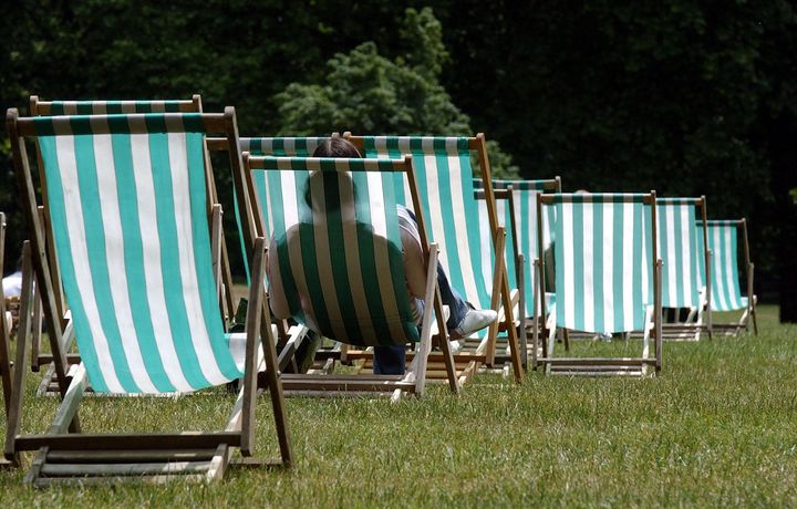
If you were feeling cautiously optimistic about our first glimpses of sunshine this year – we’ve got great news for you.
A blast of warm air originating in the Florida/ Caribbean area is making its way to us and could send the mercury soaring to a mighty 17C on Monday.
The heat will start to manifest early from Sunday, warming things up nicely for the start of next week in stark contrast to usual expected temperatures at this time of year, which tend to hover around a chilly 8C.

A spokesman for the Met Office told Huffington Post UK: “We have been tracking the airmass across the Atlantic and by Monday we will properly be in the influence of the warm sector.”
Aberdeen, Wattisham and London are all tipped as likely locations for the highest temperatures, with the east of the country broadly enjoying the best of the warmth.
The rise could make the UK among the hottest locations in Europe, following bouts of snow and freezing temperatures that took hold earlier this month.
The hottest February on record remains that of 1998, when temperatures hit 19.7C (67.5F).
Saturday will be mild and cloudy with some rain but with patches of sunshine peeping through, particularly in the south east of the country.
But what the weather gives with one hand it snatches away with the other – quite literally. By Wednesday temperatures will have cooled significantly, plummeting back down to single figures and patchy rain will once again blight our skies.
It’s not all doom and gloom however, for as we head towards Spring we are gaining four minutes of daylight every day with ever earlier sunrises.
Spring begins on 1 March this year continuing through until 31 May, with summer making an appearance come June.

