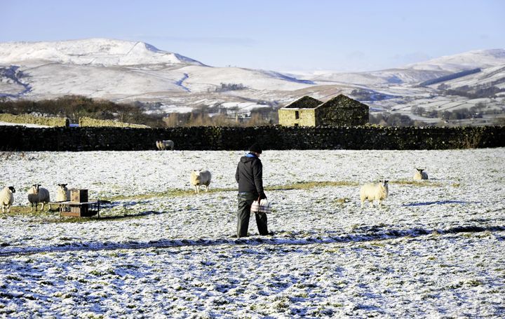
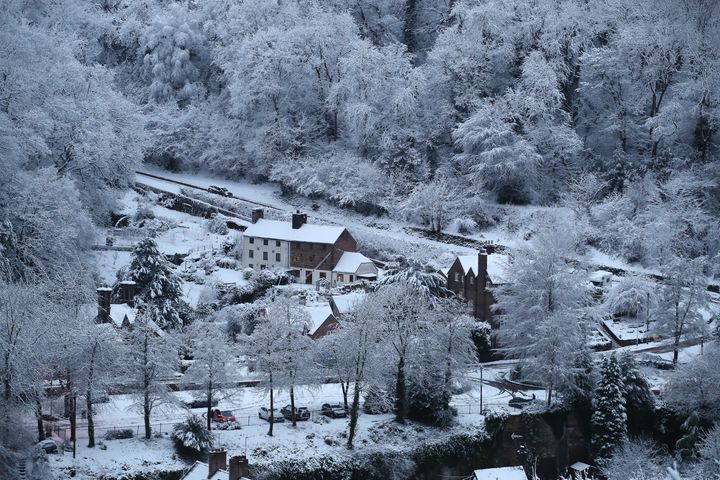
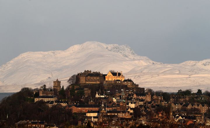
Weather warnings are still in place for large parts of the country with more snow forecast and temperatures expected to plummet.
Freezing temperatures which caused problems for commuters on Friday are likely to continue, forecasters say, after snow dumps arrived in Scotland, Northern Ireland, Wales and parts of the Midlands.
A yellow warning for snow and ice remains in place for these areas until 6pm on Saturday with Highland areas expected to experience 2-5 cm of snow, the Press Association reports.
Forecasters say 10-20 cm is possible for some locations and the worst areas affected mainly in northern Scotland.
Northern Ireland, north Wales and the northwest Midlands are also likely to see snow flurries in yellow warning areas.

Rachel Adshead, meteorologist at Met Office, said: “Storm Caroline has sort of moved away and what we’ve got is a cold area which the storm has left.
“Throughout the warning area there has been snow accumulations, but it’s not just in Scotland, we’ve also had quite a bit of snow in Northern Ireland down in the Liverpool Bay area and we’ve also had quite a few snow showers across Wales.”
Aviemore, in the Highlands, Antrim, Kinmel Bay, Leeds and areas to the west of the Pennines also reported coverings of snow which is expected to continue.


The Met office said icy surfaces are also likely to be an additional hazard on Friday overnight and into Saturday morning.
After school closures and power cuts in Scotland on Friday, the heaviest and most frequent snow showers are predicted in the north east of the country during Saturday.
Around 18,000 homes across Scotland were affected by power cuts due to the weather, according to Scottish and Southern Electricity Networks, with power returned to the majority of affected homes by Friday evening.
Dale Cargill, director of customer operations, said: “Our network generally stood up well to Storm Caroline and I would like to thank all our customers who experienced a power cut for their patience as we battled against the elements to restore their power.
“We have now returned to business as usual but we will continue to monitor conditions and are well prepared to respond to whatever other challenges the Scottish weather has in store for us this winter.”
Freezing temperatures as low as -10 are likely overnight and are predicted to remain into next week with forecasters warning Sunday could bring further heavy snow showers.
Highways England advised road users intending to travel through the West Midlands and the northwest of England to check the forecast and road conditions before they travel, with the threat of disruption throughout the weekend.
Council gritting teams are on standby to cover roads across the country with fleets of vehicles out overnight into Saturday morning.
A Met Office spokeswoman added: “We are going to be looking at a widespread frost overnight for most of areas affected by the yellow weather warning.”