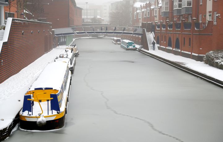
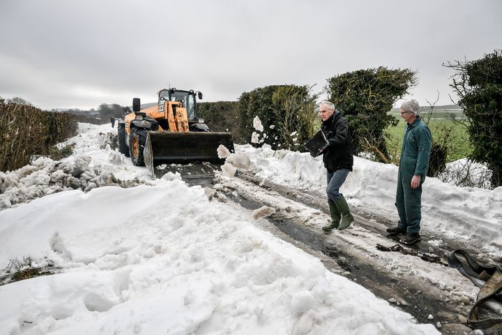
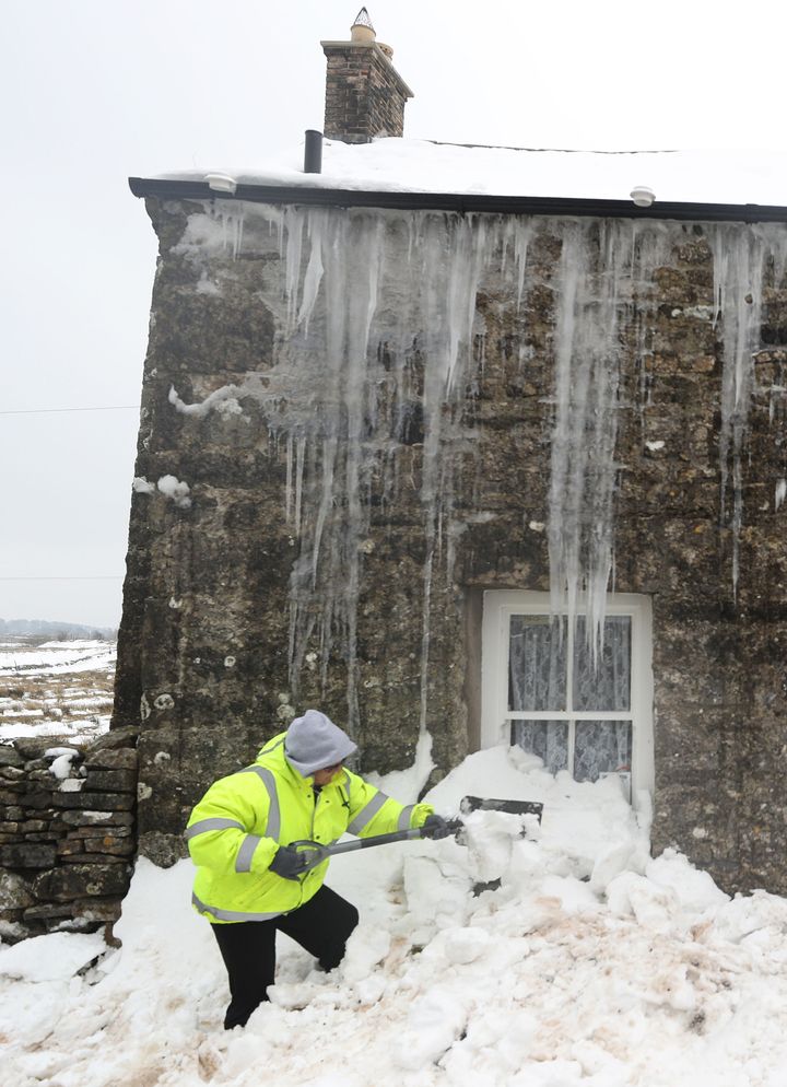
Ice is continuing to cover parts of the UK, thought temperatures have at last continued to rise.
Yellow weather warnings remain in place for in Northern Ireland until 11am on Monday and in Scotland until the end of Monday.
Yellow warnings for snow are also in place in Scotland until the end of Monday.
The past week has seen records for cold temperatures broken, with A new March temperature record for the lowest maximum was set at Tredegar in Wales, where the temperature did not get above -4.7 °C all day on March 1st. This beat the previous record of -4.6 °C set in 2001 at Cassley in Sutherland.
The Met Office said that over the next few days, the weather is now expected to warm a little from the south.

Met Office Chief Meteorologist, Dan Suri, said: “After the severe cold weather and snow we’ve had this week the good news is that temperatures will slowly increase from the south, generally up to around 4 or 5 °C quite widely by the end of the weekend and we could even see up to 9 to 10 °C in southern areas.
“It will remain coldest in north as well as the east of the UK and over the deepest snow cover.
“As we head into next week the weather will return to something more typical for the time of year, with any snow showers gradually becoming confined to high ground in northestern Scotland and the Northern Isles. For most of us southwesterly winds will return and we can expect rain at times.”
Flood warnings are still in place in a number of areas.

Sarah Cook, Flood Duty Manager at the Environment Agency said: “Today and for the remainder of the weekend, minor coastal flooding impacts are possible on some coasts of England and Wales. This is due to a combination of strong winds, waves and high astronomical tides.
“There is the possibility of some minor surface water flooding in parts of the south and west of England and Wales through the weekend due to a combination of rainfall and snow melt. We don’t expect a rapid thaw, so anticipate rivers and streams will be able to absorb the extra water without increasing the risk of river flooding.
“We will be keeping a close eye on melting snow with the Met Office as the conditions become slightly warmer next week. We will issue flood alerts and warnings as needed.
On Saturday, freezing rain and high winds left hundreds of homes without power, while the thawing conditions caused a number of pipes to burst on the Isle of Wight, Southern Water said.

A spokesman for the water company said: “Although we are doing as much as we can, it’s still possible that customers around the Newport area may experience either a loss of supply or low pressure in the early hours of Sunday morning.”
Icicles caused damage to overhead cables in Bishopton tunnel in Scotland, while North Yorkshire Fire and Rescue knocked down dangerous shards of ice overhanging a footpath.
Some roads, such as the A66 in Cumbria and County Durham, remain closed as authorities work to clear snow, but other transport services are starting to get back to normal.
Airports are beginning reopen and train routes resume, but some operators have warned of reduced or altered timetables.
