
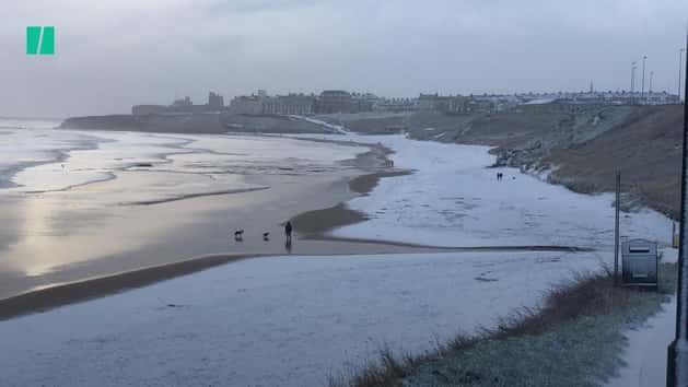
Snow flurries overnight caused travel chaos and school closures on Wednesday as forecasters escalated warnings of disruption.
The Met Office said the threat of snow and ice would continue until 9pm on Friday.
Rail, road and air travel could be disrupted by the wintry weather, the forecaster said.
Yellow weather warnings for snow and ice cover the majority of the UK on Wednesday – with only a narrow sliver of the country north east of Carlisle not affected.
Journeys on the roads could take “a lot” longer and should be avoided if possible, the Met Office said.
It comes as Manchester Airport was forced to stop flights for several hours as workers scrambled to shift thick snow and ice.
Passengers were held onboard aircraft as the disruption continued before one of its runways re-opened for arrivals and departures at around 11am GMT.
Student Sam Bell, 24, said she was among the passengers sitting on a Ryanair plane that should have taken off from Manchester for Lanzarote at 6.40am.
“We’ve been told the runway is closed,” she messaged HuffPost UK from the aircraft. “Staff and all other passengers realise it’s not the crew’s fault and they are telling us all they know.”

Bell said no refreshments had been offered to passengers, but added that the atmosphere onboard the plane remained positive.
“Most of us were up really early to get here so a lot of people are just starting to wake up from naps,” she wrote. Bell’s plane later departed once the runway re-opened.
Liverpool John Lennon Airport also said it had been forced to close its runway temporarily. It re-opened to aircraft at around 10.40am – but the disruption was expected to have a knock-on effect throughout the day.
Travellers were advised to check the status of flights with their airline.
Adverse weather caused tailbacks on major roads and motorways as authorities battled to clear up to 10cm of snow.
“Take extra care driving in the North West this morning as there are some challenging weather conditions,” Highways England said on Twitter.
“Our winter vehicles are out treating road surfaces so please give them plenty of room.”
Two A-roads in Derbyshire were closed due to heavy snowfall, with police warning local motorists not to ignore signage at the scene.
Officers also warned of multiple collisions involving cars on motorways and pleaded with drivers to take care and reduce speed.
“Please slow down and take care if out on the roads today,” Greater Manchester Police said.
Greater Manchester Fire & Rescue Service said it helped passengers on two busses in Affetside, Bury, to safety after the vehicles became stuck in snow.
Train operators cancelled services through commuter belts as passengers complained of freezing cold carriages.
Meanwhile, school closures have been reported around the UK and in Ireland.
Much Woolton Catholic Primary School near Liverpool announced its snow day on Twitter, and asked for “creative ideas” to make the most of the blanket covering the grounds.

A weather warning in Scotland, Northern Ireland and most of the UK runs until 11am on Wednesday, while the south east, London and East Anglia are covered until 12pm.
Met Office meteorologist Alex Burkill said: “Looking further ahead, it’s what happens on Thursday that has the potential to be more disruptive.
“It does have the potential to bring some very significant snow. We have already got a warning out in force for it.
“It’s currently just a yellow warning, but it’s not out of the question that will be ramped up nearer the time.
“It’s looking like it will be a spell of persistent snow.”
Thursday will start off “very cold” as the weather system pushes eastwards from the south-west.
Areas of higher ground could get up to 10cm of snow.
“It’s worth bearing in mind there will be some disruption, particularly to travel. If you’re heading out on the roads, be aware your journey will take a lot longer than normal,” Burkill added.
“There’s an ice risk which is going to cause some problems so even if there is no snow it could be icy on the roads and pavement which people need to be aware of.”
Official Met Office figures for snowfall on Tuesday showed the worst-hit areas were Tulloch Bridge, Inverness-shire, with 11cm, and Spadeadam, Cumbria, with 10cm.
Councils have prepared for heavy snowfall, with more than 1.4 million tonnes of salt stockpiled, the Local Government Association said.