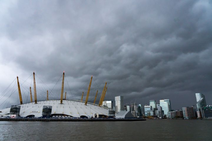
A “major change” in the UK’s weather is expected in the coming days as Storm Diana sweeps in from the Atlantic.
The recent cold and sunny spell seen by many across the country is set to be blown away by heavy rain and gales, some severe, in the middle of the week.
Storm Diana, named by the IPMA Portuguese weather service, is currently threatening the Azores and is due to make itself felt over western parts of the UK on Wednesday.
Dan Harris, deputy chief meteorologist at the Met Office, said: “It now looks very likely that we will see a major change in the UK’s weather early in the week ahead.
“We expect spells of wet and windy weather to sweep across the UK from the south west from Tuesday, although at the moment there is uncertainty around the timing and the focus for the heaviest rain and strong winds by Wednesday as Storm Diana approaches our shores.”
Monday is expected to remain chilly and bright for most parts, although there will be some showers in the east.
Temperatures are expected to reach a maximum of 10C in the south west, with highs of 4C to 7C expected elsewhere, with fog patches a risk as the mercury dips again overnight.
Conditions are expected to start to turn on Tuesday, with wet and windy weather pushing in from the south west.
After building in the Atlantic, Storm Diana is due to arrive on Wednesday as a low pressure system tracks to the north of Ireland.
Gales of up to 60mph could be seen over western parts of the UK, with heavy rain, although the storm is expected to move through relatively quickly.
The arrival of Diana following a wet Tuesday could see rain totals of between 60mm and 80mm in some western parts over the two days.
Storm Diana is expected to move away during Wednesday evening, although showers are likely to persist into Thursday.
Temperatures are predicted to be mild, with highs of 15C (59F) possible in the south east on Wednesday and Thursday – around 5C (9F) above average for the time of year.
Storm Diana was named by IPMA due to its effects first being felt by the Portuguese Azores.
The next winter storm that affects the UK first will likely be named by the Met Office, with Deirdre next on a list of names chosen by the public.
Greenhouse gases
It comes as experts warn heatwaves and rising sea levels of more than a metre could threaten the UK in the coming decades without action to cut greenhouse gases.
Summer temperatures could soar to 5.4C higher than current levels by 2070, while winters could be up to 4.2C warmer if fossil fuel pollution stays high, the new UK climate projections from the Met Office show.
By mid century, summers as hot as this year’s weeks-long heatwave will be the norm, the researchers said.
Launching the new report into how climate change will affect the UK, the first of its kind in almost a decade, Environment Secretary Michael Gove said that in the UK: “Climate change will manifest itself most acutely when it comes to water – the intense rainfall of the winter, the arid heat of the summer and rising sea levels will be how we experience climate change most immediately in our everyday lives.”
