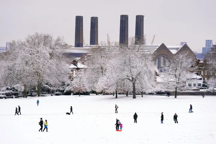
Another day, another Met Office update about the key dates we need to be aware of for snow as the UK gears up for the impact of a sudden stratospheric warming event.
According to the forecasters, there is an increasing chance of spells of rain and snow throughout March (so much for spring weather...).
From Friday March 3 to Sunday March 12, the Met Office currently predicts “a small possibility of more organised rain or snow spreading southwards”.
The following week is expected to see far worse weather however, with the period from Monday March 13 to March 27 currently being forecast as “spells of rain and snow are likely at times, with a small possibility of these combining with stronger winds to become locally disruptive”.
Originally snowy conditions had been expected for the first few days of March, but Jim Dale, senior meteorologist for British Weather Services has suggested that the initially expected cold snap in the UK has been delayed. Speaking to Express.co.uk, he said: “I still fancy something will give but it’s now later rather than sooner.”
Here’s the Met Office’s complete full range forecast for March 13 to 27:
Through this period, spells of rain and snow are likely at times, with a small possibility of these combining with stronger winds to become locally disruptive. Overall though, conditions are more likely to be mixed, with some areas remaining largely snow free.
Northwestern areas are likely to stay driest throughout. Temperatures are likely to remain below average to start, although a trend towards average temperatures is most likely later on. Despite this trend, short colder spells remain possible, and are more likely than average.