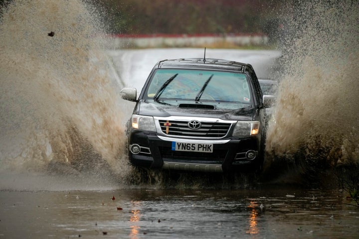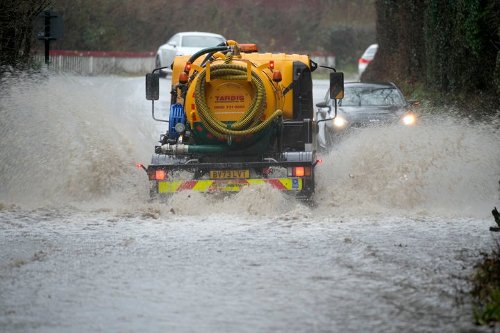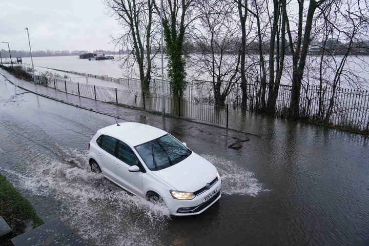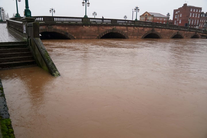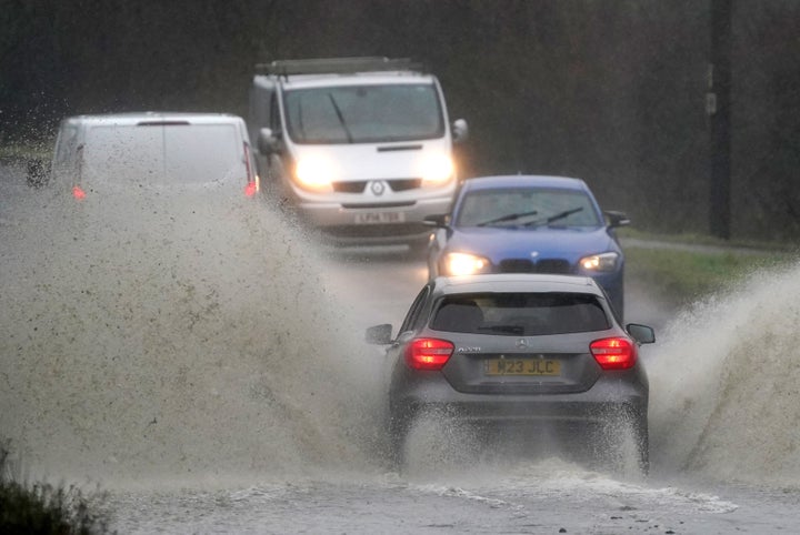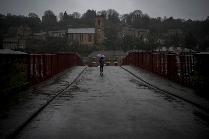
Storm Henk battered parts of the UK on Tuesday, with strong winds and heavy rain causing chaos for many in the south.
Brought on by an area of low pressure, south Wales and southwest England felt the full extent of the storm – with winds reaching up to 81mph around Devon – around late morning and early afternoon on Tuesday.
The storm then stretched up towards the Midlands and to East Anglia, with inland gusts climbing up to 70mph and accompanied by rainfall.
The Met Office released an amber severe weather warning for these parts of the UK from 10am until 8pm yesterday, along with a yellow rain warning for much of the same area.
Travel disruptions, roof damage and power cuts followed. In south-east London, one woman was taken to hospital with injuries – said not to be life-threatening – after being hit by a falling tree.
The Energy Networks Association, which collates data from all energy providers, believes 38,000 customers were without power by 7pm on Tuesday, although 102,600 people had their power restored.
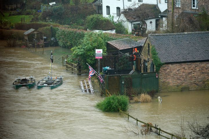
Flooding blocked roads and rail networks, with 290 flood warnings and 360 flood alerts in place as of 10pm.
Thameslink urged passengers not to travel unless they absolutely have to due to “multiple weather-related incidents” and the South Western Railway discouraged people from using their services altogether due to “extreme disruptions”.
Storm Henk was named by the Met Office, in partnership with Met Eireann in Ireland and KNMI in the Netherlands, a practice which has been going on for nine years.
It’s the eighth named storm to hit the UK in three months.
The Met Office submits name suggestions from the public, and names of those who help respond to severe weather.
Met Eireann’s names are inspired by famous scientists, while KNMI’s names are usually Dutch and submitted by public visitors throughout the year – which is where Henk came from.
Luckily, higher pressure is expected to move in by the weekend which should reduce this turbulent spell of weather, although the Met Office has forecast some more wet and windy spells until then.
Here’s a look at some of the most striking images of the storm – and the impact its had on the UK – to emerge so far:
