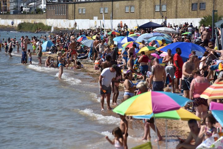
The UK’s heatwave, which started in the first week of September, might see temperatures of up to 32.2°C in parts of the UK, Sky has said.
The higher temps are expected to arrive in the middle of the week. Tuesday may see temps of up to 30°C, for instance, with the highest heat likely to be seen in Oxfordshire, Gloucestershire and the Bristol Channel.
The Met also predicts 30°C at 4 PM on Wednesday in London, and Sky News’s Joanna Robinson has said “There’ll be some warm nights too, especially on Wednesday, when the odd place may experience a tropical night - when temperatures don’t fall below 20[°]C.“
We could see the hottest day of the year in the middle of the week
If the forecasted weather goes as expected, it’ll be the first time UK temperatures will reach above 30°C this year since the 7th of June. In fact, if we get to over 32°C as some predict, we’ll face the hottest day of the year this week.
Forecasts suggest that the temperatures will stay stable for the rest of the week, with the UK set to face “Mostly dry and settled with some very warm sunshine” per the Met Office’s five-day forecast.
However, as the month progresses, the heatwave might cool off in some areas.The Met’s 18-day forecast says that “In the second half of September, conditions are likely to vary across the country, with showery rain being most frequent in northwestern areas.”
Though the second half of the month is set to be cooler, the Met says temps are still expected to be above average ― though they may not officially count as a heatwave.
Different parts of the UK will be affected, well, differently
While some parts of the UK are expected to face consistent dry, sunny spells, others may still have to deal with showers and cooler climes. For instance, after this Friday, “In central and northern areas, sunshine may be limited by areas of clouds, with a possibility of showers or thunderstorms,” predicts the Met. “Northwestern areas are most likely to see spells of rain, while southeastern areas retain more prolonged drier weather.”
“The southeastern part of the country is expected to be more settled, with a chance of showers at times. Confidence in the forecast decreases later in this period; however, a mix of mostly dry weather with occasional wet spells is possible, with a higher incidence of high-pressure forecast. There is a greater chance than normal of temperatures being above average,” they add.
“A UK heatwave threshold is met when a location records a period of at least three consecutive days with daily maximum temperatures meeting or exceeding the heatwave temperature threshold,” the Met Office says. That means that different parts of the UK reach heatwave status at different temperatures ― for instance, Scotland’s threshold is 25°C, while London’s is 28°C.
Some of these thresholds have recently been adjusted to reflect the extra heat global warming has brought to the UK.