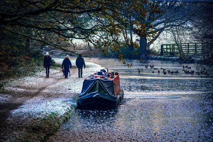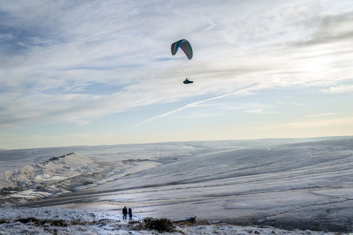
Most of the UK will see another blanket of snow over the weekend – but forecasters hope a mild spell will follow hard on it heels, bringing an end to the cold snap.
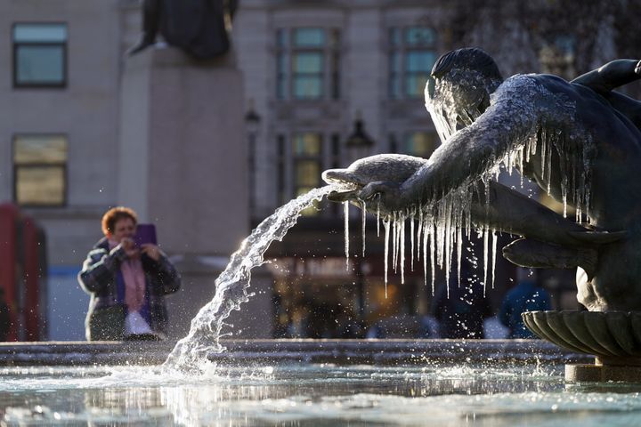
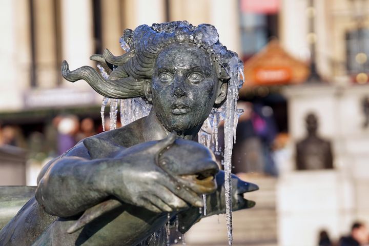
The Arctic blast was evident across the country on Friday as the fountains at London’s Trafalgar Square were frozen and heavy snow disrupted travel and led to school closures in Scotland.

Much of mainland Scotland is covered by a Met Office yellow warning for snow and ice, while an amber alert for snow in the central belt expired at midday on Friday.
Meanwhile, a yellow warning of ice has been issued for much of central and southern Scotland, north east and north west England, the East and West Midlands, Yorkshire and the Humber and Wales from 9pm on Friday until mid-morning on Saturday.
It came after the weather bureau on Thursday issued a yellow weather warning for snow and ice covering the majority of Scotland, Wales, the north of England and the Midlands from 3am to 9pm on Sunday.
Another warning for snow and ice will also cover most of the south of England from 3am until 11am on Sunday.
Forecasters say the UK will be swept by snow on Saturday night with the potential for up to 15cm in the north of Scotland.
But a band of rain followed by milder air will move in on Sunday, bringing an end to the current cold snap.
It comes as the current severe weather conditions have caused major disruption across the UK in the last few days.


Met Office deputy chief forecaster, Helen Caughey, said: “The northerly airflow and cold conditions which have dominated our weather patterns over the last 10 days will start to lose ground to a push of mild air from the south west on Sunday.
“As the mild air meets the cold air currently in situ over the UK there will be a transient spell of snow, potentially to low levels, especially in the north. Add to this the risk of rain falling onto frozen surfaces, and strong winds over upland areas of northern Britain, bringing blizzard conditions, and this could be a day to avoid travelling in some areas, although the snow should turn to rain later.”
“There is also a brief risk of a period of freezing rain, most likely to impact areas from the Pennines northwards, which could result in some power interruptions.”
She added it will remain “unsettled” next week: “Strong winds could prove disruptive at times especially through the first half of the week and there is the possibility of some persistent rain for parts of the southwest.
“Although not as cold as we are currently experiencing, we could potentially see a return of some wintery hazards at times, mainly across higher ground in the north, but there is still a lot of uncertainty in how prolonged this might be and what associated hazards it might bring.”
