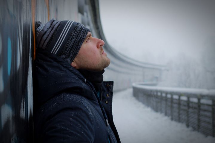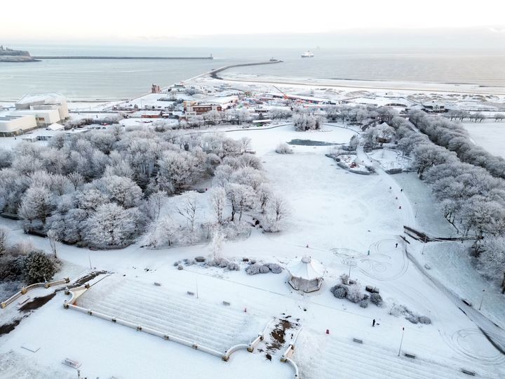
The snow may be pretty, but it seems to have brought the country to a bit of a halt.
Drivers were trapped for hours on the M25 on Monday morning, flights across the country were cancelled and transport in general was brought to a standstill.
So how long can we expect the snow (and the accompanying freezing temperatures) to stick around?
Here’s what the experts say.
Is this colder than normal December?
At the start of this festive month, UK temperatures were average with daytime highs between 8°C in south England and 5°C in Scotland.
But, in just a matter of a weeks, the weather has plummeted to minus temperatures, with most of northern Europe experiencing the same phenomenon unusually cold weather.
Of course, the current 0°C to -10°C cold snap is closer to normal than the record-breaking heatwave seen in the summer, where we experienced highs of 40.3°C – but it’s remarkable that the climate has dropped by almost 50°C in less than six months.
Monday December 12, was the coldest day in the UK since December 2010 according to the Met Office, with temperatures dropping to -15.6°C during the day in Aberdeenshire.
To make everything even stranger, while the UK and its nearest neighbours are shivering, southern Europe is warmer than usual according to European Centre for Medium-Range Weather Forecasts.

What’s causing the current weather patterns?
High pressure fronts coming from over Russia, and another wave coming from the west (Greenland and Iceland) have met in the middle – forcing a low pressure front right over the UK, an Arctic blast.
This also means the high pressure areas are stuck and cannot move, which is why the cold snap is lasting so long.
What will cause the cold weather to disperse?
BBC Weather presenter Matt Taylor has speculated that low pressure from over the Atlantic Ocean could move over Europe soon.
This means the cold snap could end by the weekend, reducing the likelihood of more snow.
Why does it feel especially cold?
Weather reports have pointed out how there appears to be at least a 3°C degree difference between the actual temperature and what it feels like at the moment.
This is partially because we became acclimatised to a warm autumn ( the third warmest on record).
Met Office data shows highest daily temperatures in some places over September, October and November were 2.5°C above the average seen between 1990 and 2020, particularly in the south-east of England.
And, the last prolonged snowy December was in 2010, demonstrating how cold snaps in the UK have been brief and infrequent in recent years.
There’s also the impact of the wind, which makes it feel much colder.
What’s the weather like for the rest of the week?
More snow is expected, but it is likely to stay in Scotland and the north of England.
There is also a yellow warning in place for snow and ice until Thursday in Scotland.
A level 3 Cold Weather Alert issued by the UK Health Security Agency covering all of England is in place until Friday December 16.
Temperatures will stay low for several days, and dropping below freezing in many towns and city centres.
Met Office chief meteorologist Matthew Lehnert said: “The cold conditions will remain in situ during this week.
“In many places, daytime temperatures will struggle to get above freezing, while overnight temperatures have the potential to drop below -10°C in rural parts of Scotland.”
He added that snow and ice warnings will continue to be a feature of the forecast until the end of the week, with some freezing fog.
What about by December 25...?
If you’re hoping for a white Christmas though, it’s not likely, as temperatures will probably return to the average we’ve seen in recent years within a week or so.
As Lehnert explained: “By the end of the weekend, there is a signal that we may see a shift in type away from the Arctic-dominated conditions with milder and wetter weather coming in from the Atlantic.
“This transition could bring the risk of significant, but highly transient snowfall before quickly turning to rain.”
