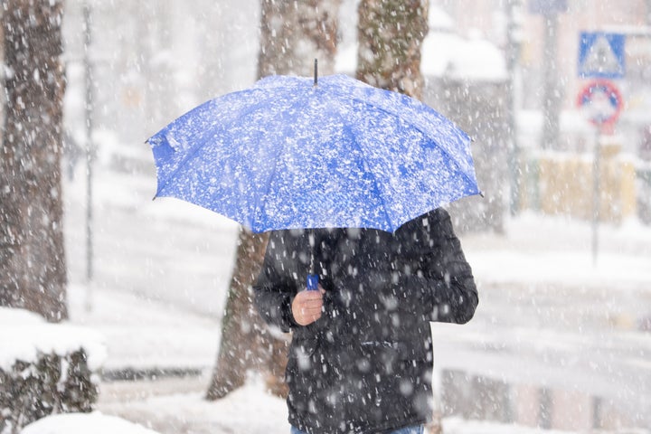
If January is anything to go by, we have another year of dramatic weather ahead of us. The Met Office has warned that temperatures will be, “much colder than recently” and that frost is set to be widespread throughout the UK.
This weather is set to last the entire month with the Met Office stating that, “the chance of widespread severe cold is still deemed low, but still the risk of impacts from cold, including ice and snow is greater than normal.”
However, a slight silver lining is that the UK is set to be drier than recent weeks but “what does fall is more likely to be of a wintry nature.”
When to expect snow in the UK
According to weather forecast data viewer WXCharts, wintry weather is set to move in from the northwest on January 14th and up to 6 cm of snowfall per hour is set to hit central and northern England and Wales.
There is more heavy snow set for that coming week which is expected to cover most of south England. There are also isolated snow showers expected to hit the north of Scotland at this time, too.
The Met Office has not issued any weather warnings for these times so, for now, it looks like we could just be enjoying some snow bombs without the risks we’ve seen in recent storms.
Cold snap coming to the UK
Jason Kelly is a Met Office Chief Forecaster. He said: “The transition to lower temperatures will be noticeable over the weekend. It will become rather cold next week with lower-than-average temperatures across much of the UK, accentuated by brisk easterly winds in the south.”
Additionally, the UK Health Security Agency has issued a cold weather alert, covering the whole of England valid from 9am on 6th January to 12 noon on the 9th of January. Temperatures are likely to be below average, especially overnight and ice is likely to be an issue in areas with very wet grounds.
Wrap up warm!