
Forecasters at the Met Office have issued severe weather alerts as Hurricane Helene creeps closer to the UK.
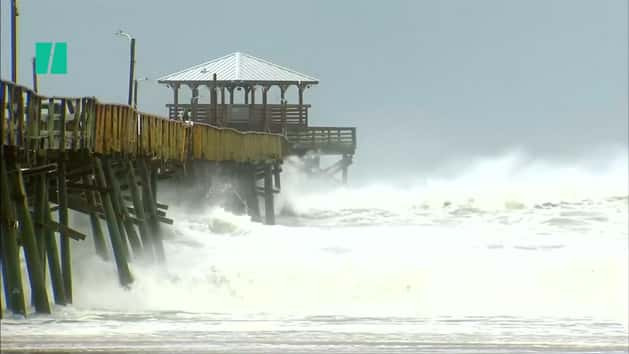
The weather front is one of a glut of tropical storms in the Atlantic, with Florence sparking mass evacuations as she heads towards landfall in the US states of North Carolina, South Carolina and Virginia.
Severe gales which could pose a danger to life are expected in the UK, moving from the south west to the north west.
Helene is due to hit the UK between Monday night and Tuesday morning, but is likely to be short-lived. The alerts – which warn of injuries and danger to life from flying debris – are in force from 6pm on Monday until 12 noon on Tuesday.
Power cuts, large waves, beach material being thrown onto sea fronts and fallen trees are further predicted hazards.
At her most fierce, wind speeds of up to 85mph were being recorded south west of the Azores in the Atlantic. But by Monday Hurricane Helene is expected to be downgraded to a storm.

Temperatures could be very warm in the south east next week due to a blast of tropical air being brought up in association with the storm.
London could see the mercury reach between 25-27C on Tuesday – considerably warmer than the average maximum temperature for this time of year, which is around 17C.
The warm temperatures are set to continue until the later part of September.