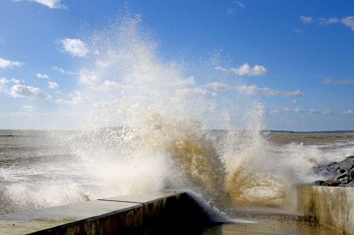
Britons should brace for lashings of rain and blasts of gale-force winds as Storm Gareth moves across the UK.
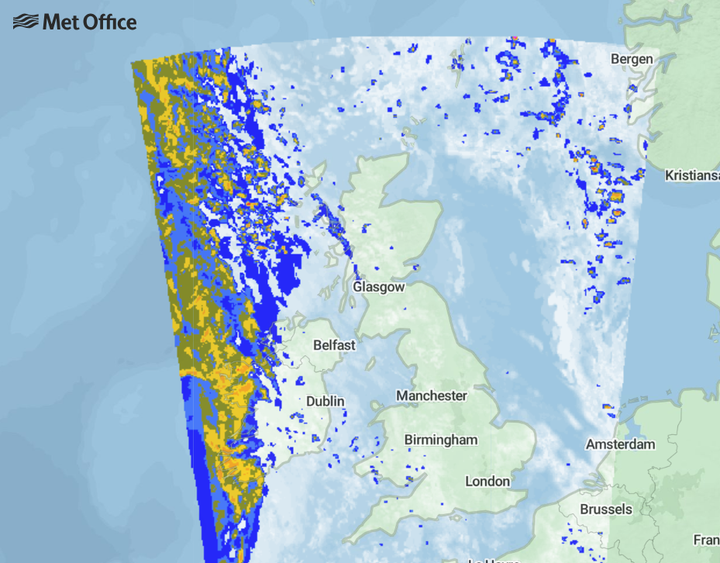
Weather forecasters warned of potential disruption caused by the storm as it moves over the UK from the east, beginning on Tuesday morning.
Gareth will see a “powerful jet stream” bring areas of very low pressure to cause unsettled and windy weather for most parts of the UK.
And it could be an icy start for many on Tuesday as thermometers plummet.
The Met Office’s Mark Wilson told HuffPost UK that higher parts can expect winds up to 65mph in places overnight on Tuesday into Wednesday.

Wilson said: “A band of heavy rain will spread its way eastwards into the UK overnight.
“It will be a wet start for many parts on Tuesday morning. We could see gusts of wind up to 50mph as it spreads eastwards.
“Tuesday evening into Wednesday morning will see winds at their strongest
“We could see gusts up to 55mph or up to 65mph in exposed areas – potentially even more than.”
Wilson added that a heavy rain warning was in place over north-western parts, including Cumbria, which could see up to 60mm, over two inches, this week.
It follows wintery conditions across northern parts over the weekend, which saw snow and hail showers strike many parts. In Scotland, higher parts will get a coating of snow as rain lashes exposed areas.
Despite the dire forecast, some parts will see intermittent sunny spells and drier interludes.